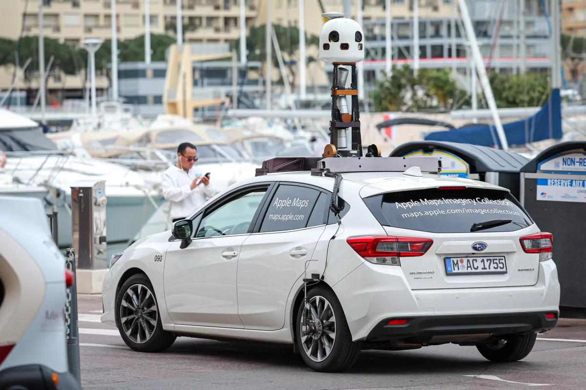
On Wednesday 28th and Thursday 29th February, a fleet of Apple Maps vehicles will be touring around the Principality as they collect up-to-date street-level imagery of Monaco for the tech company’s mapping service.
“Smile, you’re on camera!” reads a post published on the Monaco Government’s social media channels during the first day of filming.
In all, it will take two full days for the Apple-branded vehicles to make a complete tour of the Principality, capturing street-level images of Monaco’s many streets, boulevards and avenues with their 360° onboard cameras as they go. You might even see some portable devices being used in pedestrian zones of the Principality.

The images will later be compiled and uploaded to Apple’s Maps service – called Plans in French – which is the default map system of iOS, iPadOS, macOS and watchOS.
The images will not only be of a higher quality to the current versions, but they will also enhance the reliability of the maps by integrating all of the new building projects that have been launched or completed since Apple’s last mapping visit to the Principality.
Residents and visitors to Monaco who end up on film need not worry about their identities being revealed through the images, however, as Apple promises that all visible faces and vehicle registration plates will be blurred in the final product.
Further information about Apple’s image collection project can be found here.
Join the Monaco Life community – sign up for the Monaco Life newsletter, and follow us on Threads, Facebook, Instagram, LinkedIn and Tik Tok.
Photo credit: Stéphane Danna / Monaco Communications Department
