

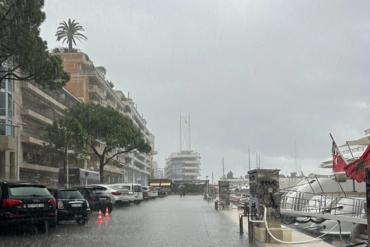
Heavy rain and thunderstorms are forecast to reach Monaco and the French Riviera on Tuesday 20th October as a Mediterranean weather system moves east across southern France, with the most active conditions expected during the afternoon and evening.
The Alpes-Maritimes has been placed under yellow vigilance for thunderstorms on Tuesday, according to Météo-France’s bulletin issued at 2.29pm on Monday. The warning means conditions could become locally dangerous, particularly for activities exposed to the weather.
The deterioration follows an intense spell of rain affecting the Hérault and Gard on Monday. As the system advances towards Provence-Alpes-Côte d’Azur, forecasters expect spells of heavy rain accompanied by thunderstorms, gusty winds and a risk of hail. The strongest storm activity is forecast to cross the region from west to east during Tuesday afternoon.
When will the worst weather arrive?
Météo-France expects the intense, thundery rain to move across Provence-Alpes-Côte d’Azur and Corsica during Tuesday afternoon and evening, before clearing during the night into Wednesday.
Why autumn storms can bring so much rain
Mediterranean episodes develop when warm, moist and unstable air moves inland from the sea. They are most common in autumn, when the water remains warm and evaporation supplies moisture to storm clouds.
The danger increases when storms remain over the same area, repeatedly dropping heavy rain and potentially triggering rapid flooding.
Residents should follow the latest Météo-France vigilance updates before travelling. During intense rain or thunderstorms, the weather service advises taking shelter in a substantial building, keeping away from trees and watercourses, and never entering a flooded road, even if it is only partially submerged.
Monaco Life is written by qualified journalists, writing original content. Sign up for our free newsletter, listen to our podcasts on Spotify, and follow us across Facebook, Instagram, LinkedIn, and Tik Tok.
Photo by Monaco Life