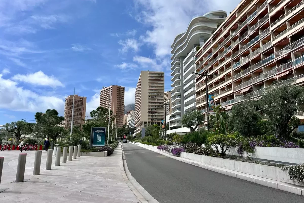
Over the next few days, the first stage of an ambitious project to capture the streets, buildings and green spaces of Monaco in 3D will be taking place. The goal is to create a digital twin of the Principality, a high definition mirror image of Monaco, that will allow the government to make the best possible plans for the future.
Between Monday 15th and Friday 19th April, a fleet of specialist mapping vehicles, drones and workers equipped with high-tech portable devices will be touring each and every inch of the nation, from its boulevards and avenues to its rooftops and gardens.
All available techniques will be called upon, says the government, which is spearheading the project, from innovative new technologies to the time-tested and hands-on approach of professional surveyors.
Monaco’s Department of Forward Studies, Urban Planning and Mobility will be working in collaboration with the Digital Services Department to ultimately reproduce the landscape – and the cityscape – of the Principality in 3D.
“This virtual representation will allow State services to consider urban development projects and plan the insertion of new buildings [as well as] verify the relevance of renaturalisation projects and possible locations for pedestrian routes among other uses,” confirmed the government via an official communiqué released on Monday 15th April.
This is but the first stage of the project, with a second mapping campaign set to take place in May.
Read related:
Join the Monaco Life community – sign up for the Monaco Life newsletter, and follow us on Threads, Facebook, Instagram, LinkedIn and Tik Tok.
Photo by Monaco Life