

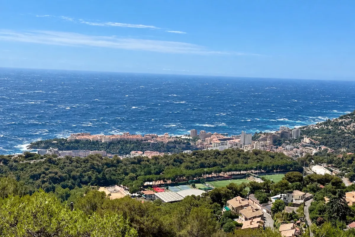
Monaco’s sea is often a backdrop to beach days, harbour views and yacht outings. But a new IMSEE report reveals its more powerful side: an individual wave measuring 8.58 metres — roughly the height of a three-storey building — was recorded off the Principality during a storm on 20th December 2019.
That was the highest wave captured in a ten-year series of offshore measurements analysed by Monaco Statistics. It was not an isolated example of sizeable seas either: other storms produced individual waves of 7.81 metres in November 2019 and 7.56 metres in December 2017.
Published on 1st October, the study examines Monaco’s wave conditions between 2016 and 2025. Its findings reveal a coastline where generally modest waves are interrupted by much more powerful episodes — and where the roughest month is not necessarily the one with the biggest waves.
What an 8.58-metre wave means
The measurements came from a buoy moored off Monaco in 92 metres of water, part of the CANDHIS network operated by France’s technical agency Cerema.
During the December 2019 storm, significant wave height reached 4.51 metres. This measures the average height of the highest third of waves over a 30-minute interval, giving a picture of the surrounding sea conditions. The largest individual wave was almost twice that height.
The report ranks this episode first for both measures: it produced the biggest single wave and the most severe overall sea state recorded in the series.
These are offshore measurements, rather than wave heights at the beach or inside the harbour, but they illustrate the scale of the storms that can develop beyond Monaco’s waterfront.
The biggest waves arrive before the deepest winter
One of the study’s most useful findings is the difference between frequency and force.
March had the greatest number of rough days across the decade. Yet the most extreme waves were recorded between October and December, including the four largest individual peaks, all exceeding seven metres.
In other words, winter and early spring brought more regular rough seas, while autumn and early winter produced the strongest recorded events.
How often does Monaco’s sea become rough?
Across the days with measurements available, significant wave height exceeded one metre on roughly one day in three.
After estimating gaps in the records, IMSEE calculated an average of around 127 rough days each year. That does not mean four months of continuously rough water: a day is counted when the one-metre threshold is crossed at least once.
Summer presents a very different picture. July and August averaged only around three rough days per month, compared with approximately 17 in March.
Even the calmer season had its larger moments, however. Individual waves of around two to three metres were recorded during summer, showing how much conditions can vary within a season generally associated with gentler seas.
Direction matters too. Waves arriving from the south-west and east accounted for 87.2% of the most severe sea states. The eastern sector became particularly prominent during storms, despite contributing a smaller share of everyday conditions.
Are Monaco’s waves getting bigger?
The study found no detectable increase in average wave height or the annual frequency of rough days between 2016 and 2025.
Average significant wave height stayed close to 62 centimetres. The strongest storm in each year varied much more substantially, showing how a single event can dominate a year’s record without changing the underlying pattern.
Monaco Life is written by qualified journalists, writing original content. Sign up for our free newsletter, listen to our podcasts on Spotify, and follow us across Facebook, Instagram, LinkedIn, and Tik Tok.
Photo by Monaco Life, digitally edited to illustrate rough sea conditions