A new site called Travel-Map has been launched showing real-time summaries of which borders are open and which are still closed during deconfinement, making it easier for travellers to plan summer trips.
De-escalation of the lockdown may mean more freedom of movement, but things are far from clear on where that freedom can take you. People around Europe are gradually trying to piece their lives back together and find a semblance of normalcy. As such, many are looking to the summer as a time to get away from home and enjoy a much-deserved holiday.
The problem is, no one is entirely sure where they are allowed to go or when. The European Commission has recommended a gradual reopening of borders within the EU by mid-month, though countries with high instances of coronavirus will certainly be unwilling or unable to comply. Conversely, countries who have managed their cases will not be terribly keen to welcome guests from places with large numbers of actively ill people. But how to find out which are open, and which will remain closed?
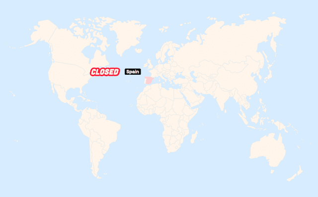
Travel-Map, a site launched on 1st June by Elea Gravagna and Maxime Couraud in partnership with the agency CosaVostra, hopes to take the guess work out of the planning. The site is offering visitors a way to view in real-time the state of borders and entry requirements in every country in the world.
All the data comes directly from the International Air Transport Association (IATA) and the Ministry of Europe and Foreign Affairs and is integrated onto a world map free of charge to users.
“It’s very simple, you fly over a country to know its status and you click on it to have all the details. On each country file, you can enter your email address to be kept informed of updates,” explained the two co-creators in a press release.
To visit the site and get up to the minute info, go to travel-map.org