The La Niña weather phenomenon, which intensified droughts and floods in several regions of the world, is finally over. But the one that is likely to follow, El Niño, will bring with it a whole new range of problems.
La Niña, the “cool phase” of the weather phenomenon El Niño-Southern Oscillation (ENSO), has been raging since 2020, lowering the temperature of the oceans and increasing rainfall patters in different parts of the world.
Now, according to a new update from the World Meteorological Organisation (WMO), El Niño, the “warm phase” of ENSO, has a high probability of returning this summer, bringing with it warmer waters in the eastern tropical Pacific Ocean.
And while El Niña managed to reduce the impact of global warming last year, the WMO has warned that El Niño risks fuelling a new peak in global temperatures, and there’s a good chance that we will experience the hottest year on record.
“The first triple-dip La Niña of the 21st century is finally coming to an end,” said WMO Secretary-General Prof. Petteri Taalas. “La Niña’s cooling effect put a temporary brake on rising global temperatures, even though the past eight year period was the warmest on record. If we do now enter an El Niño phase, this is likely to fuel another spike in global temperatures,” said Prof. Taalas.
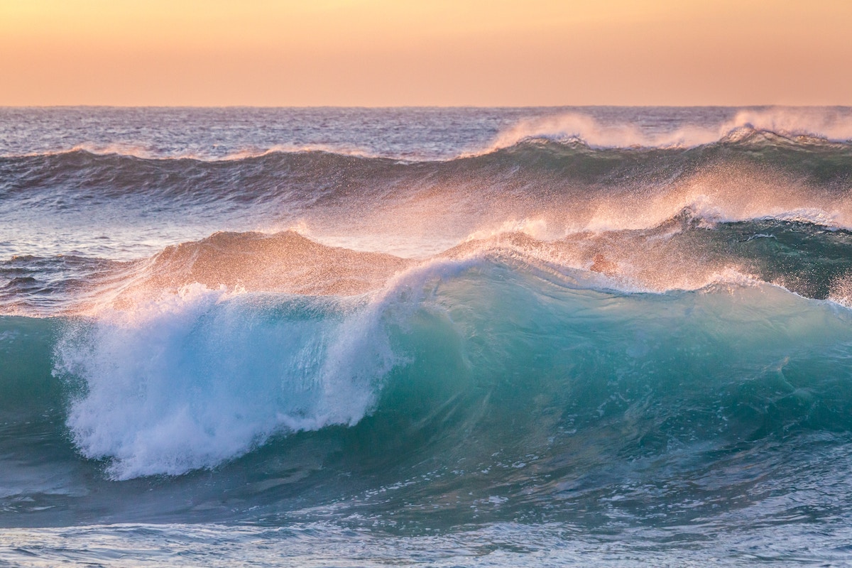
El Niño is a natural weather phenomenon that occurs irregularly at two- to -seven-year intervals. It is characterised by a warming of the surface waters of the equatorial Pacific Ocean, unlike La Niña where the surface waters are colder than normal.
The variation in the temperature of the oceans plays an essential role in our climate. Each degree lower or higher affects the heat transfer between the ocean and the atmosphere. These variations are also a major factor in ocean currents, which are responsible for transporting heat and moisture across the globe and can therefore have a significant impact on climate. The oceans also provide a source of moisture to the atmosphere, which is essential for precipitation and average temperatures.
Experts at the WMO suggest that there is a 55% chance of El Niño developing in the June to August period this year.
Impact on France, Monaco and Europe
The El Niño and La Niña phenomenon occurs naturally, but it is taking place against a background of human-induced climate change, which is increasing global temperatures, affecting seasonal rainfall patterns, and making our weather more extreme.
In France and more widely in Europe, climate experts agree that there will be little to no impact of El Niño. But other areas of the globe will not be so lucky, namely the American continent, Oceania and the countries bordering the Indian Ocean.
Previous episodes saw more low-pressure weather than normal, but also warmer temperatures than average. So, when El Niño hits this summer, it will increase the number of heat waves as well powerful storms.
Will 2023 break the record?
The year 2016 was the warmest on record because of a combination of El Niño and climate change. There is a 93% likelihood of at least one year until 2026 being the warmest on record, and a 50:50 chance of the global temperature temporarily reaching 1.5°C above the pre-industrial era, according to a study last year by the UK’s Met Office, which is WMO’s lead centre for annual to decadal climate predictions.
Sign up for the Monaco Life newsletter. For the latest news, follow us on Facebook, Twitter, and Instagram.
Photo credit: Photoholgic on Unsplash