

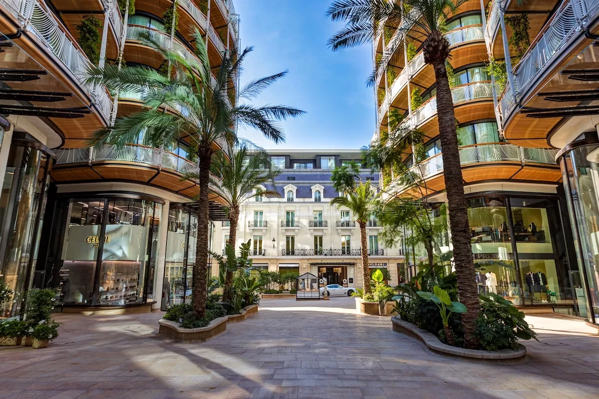
More than four in ten of Monaco’s residents live in just two districts, according to the latest population census figures published by IMSEE, Monaco’s statistics institute, with the Principality recording an average population density of 18,681 inhabitants per square kilometre.
Monte-Carlo is the most populated district with just over 8,300 residents, followed closely by La Rousse with nearly 8,000. Together the two districts account for 43% of the Principality’s total resident population.
A tale of contrasts
At the other end of the scale, Monaco-Ville — the historic rock that forms the oldest part of the Principality — is the least populated district with just over 1,000 inhabitants, representing 2.6% of the total population. Larvotto follows with 2,287 residents, or 5.9%.
La Condamine and Jardin Exotique sit in the middle of the range, with 5,446 and 4,997 residents respectively — 14% and 12.9% of the population. Les Moneghetti and Fontvieille have relatively similar populations, with 4,498 and 4,297 residents, each accounting for just over 11%.
Monaco’s districts
The figures are based on the district boundaries defined by Sovereign Order No. 4,481 of 13 September 2013, under which Ravin Sainte-Dévote has been incorporated into Les Moneghetti.
The data underlines the concentration of Monaco’s population in its northern and central districts, with the traditional residential and commercial heart of Monte-Carlo continuing to account for the largest share of the Principality’s 38,000-strong resident population.
Stay updated with Monaco Life: sign up for our free newsletter, listen to our podcasts on Spotify, and follow us across Facebook, Instagram, LinkedIn, and Tik Tok.
Photo credit: Benjamin Vergely, Monaco Department of Tourism